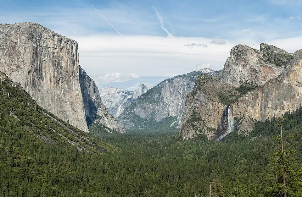
Yosemite Valley is the familiar first stop, not the entire park. The National Park Service visit guide describes valleys, meadows, giant sequoias and High Sierra wilderness. Tunnel View frames a famous valley panorama; the 2013 photograph records that view, not today's road conditions. Decide which area matters to you before choosing a bed or driving route, and allow for time inside a large park rather than treating it as a roadside stop.
Match your approach road to your destination
Reaching the valley from the west is different from crossing the mountains on Tioga Road. That high road can close with snow; Glacier Point Road also depends on conditions. Check the NPS current-conditions page just before departure and follow its directions and transportation guidance, not a pin at the park's geographic centre. A short-looking route may become a long detour if a mountain pass is closed. Mobile service is limited, so download offline maps before entering.
Separate entry, sleeping and trail safety
Use the official fees page for current charges and check whether your travel date has any entry requirement. Paying to enter does not secure lodging or a campsite; arrange those separately. For hikes, carry water, layers and a light. Keep away from fast water and slippery rock near rivers and waterfalls. Give wildlife space and store food according to park rules. Trails, roads and services can change within a season, so recheck the official notices close to your visit.