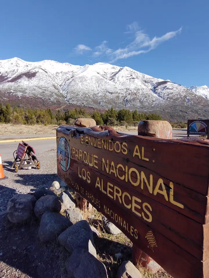
Plan the sector, not just the park name. Los Alerces National Park in Chubut has North, Central and South entrances serving different areas. The Central entrance connects visitors coming from Esquel with Villa Futalaufquen. From Trevelin, the South entrance and the route to the Central entrance are distinct journeys. Decide where you want to walk before booking accommodation or following a pin at the park’s geographic centre.
Lakes, ancient trees and walks require different plans
The park authority describes protected alerce forest and Patagonian lakes. Its activity guide separates family walks from demanding routes. Pinturas Rupestres is a short walk near Villa Futalaufquen; Lahuán Solitario starts beyond the Río Arrayanes footbridge in the north. Neither should be confused with visiting the old-growth stand by the northern arm of Lake Menéndez, which needs a different transfer plan. Some trails require registration or a guide; weather and fires can close routes. Ask the visitor centre about the specific trail before setting out.
Entrances, season and fees
The official arrival page identifies the Central entrance from Esquel via RN 259 and RP 71, the South entrance from Trevelin, and the North entrance from Cholila. RP 71 crosses the park; road conditions and entry hours can change, particularly in winter. Use the authority’s map to select an actual entrance. Check the current fee and charging schedule for your date and visitor category. Layers, a waterproof jacket and water are sensible even outside winter. The 2024 image depicts the Central entrance, not the entire park.