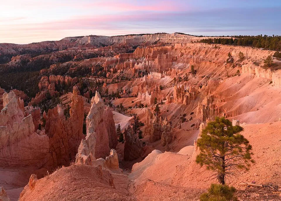
Bryce Canyon National Park in Utah is not one canyon. The NPS describes a series of amphitheaters cut into a high plateau, known for their eroded rock spires, or hoodoos. Our 2018 image was taken at Sunrise Point. It identifies the landscape, not current road or trail conditions. First choose between a short visit to the Bryce Amphitheater and more time along the southern scenic drive.
Four viewpoints or the full road
Sunrise, Sunset, Inspiration and Bryce Point overlook the amphitheater within the park's first few miles. With limited time, you can combine viewpoints with a section of the Rim Trail. The main road continues to higher southern viewpoints and takes more time; weather can affect that plan. Sunrise Point is a viewpoint, not a separate park entrance. Follow UT-63 to the park's northern entrance and visitor center.
Shuttle, car and walking below the rim
The park shuttle serves popular stops in its operating season, but is not compulsory for every visitor. Its schedule changes, and long vehicles face parking restrictions at some stops while it operates. For a walk among hoodoos rather than a view from above, check your chosen trail and safety conditions before departure. High elevation and ice can make a November walk very different from a summer stroll.
Admission and a workable itinerary
Park admission is separate from camping and lodging. Check current fees and passes on the NPS site rather than budgeting from an old figure. Three choices define a useful trip: amphitheater or longer drive, seasonal shuttle or car, and rim viewpoints or trails with elevation change. Use the NPS directions to UT-63, then review alerts, weather and trail conditions shortly before traveling. This guide does not assert that a road or trail is open today.