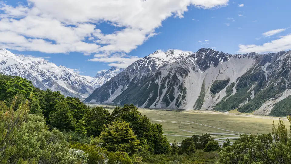
Plan the access point, not a park-centre pin. Aoraki/Mount Cook National Park has a visitor centre in Aoraki/Mount Cook Village, reached via SH80. Hooker Valley Track and the shorter start for Kea Point use White Horse Hill. Decide how long you want to walk, then check current track conditions and alpine weather before the drive.
Hooker Valley or Kea Point?
DOC's Hooker Valley guide starts at White Horse Hill car park and continues to Hooker Lake over three swing bridges. The second bridge opened in July 2026, so older route photographs may mislead. The outward walk is about 5 km on gravel with some steps; you return the same way. Allow several hours rather than treating it as a roadside viewpoint. The area is sacred to Ngāi Tahu and has Tōpuni status.
For a shorter outing, Kea Point Track ends at a deck looking towards Hooker Valley, Mueller Glacier lake and surrounding peaks. You can start in the village or shorten the walk from White Horse Hill. A lookout is not the same destination as Hooker Lake. Do not treat Mueller Hut as a casual extension: the DOC avalanche advice describes complex terrain and changing hazards, including at higher elevations in summer.
Parking, orientation and safety
The DOC visitor centre is signposted in the village at the end of SH80 and offers current walking information. White Horse Hill parking carries a charge; that is not a blanket park admission fee. Check the current parking terms, payment method, road and track status, and forecast before departure. A listed track is not a guarantee it is open on your day. The 2017 photograph was taken from Governor’s Bush Walk, not from Hooker Lake.